


1970 U.S. Great Lakes Chart Map Army Corps Engineers Fold-Out 33" x 21.5"

 4.7 (124 items)
 Limited Time Sale
$8.00 cheaper than the new price!!
Free cash-on-delivery fees for purchases over $99
Product details
| Management number | 6085223 | Release Date | 2025/08/20 | List Price | $12.00 | Model Number | 6085223 | ||
|---|---|---|---|---|---|---|---|---|---|
| Category | |||||||||
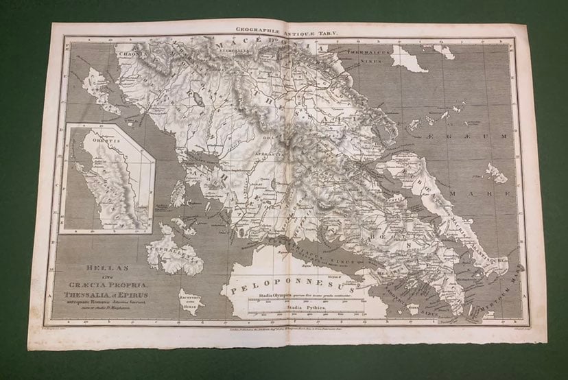
1970 fold-out chart catalog of the Great Lakes and connecting waterways, published by the U.S. Lake Survey, Corps of Engineers. Issued by the Department of the Army in Detroit, Michigan, this map/catalog lists nautical charts available for Lakes Superior, Michigan, Huron, Erie, and Ontario, plus inland routes. Folded size is approximately 11" x 6.75"; opens to 33.25" x 21.5". The front shows a full-color layout of the Great Lakes region, while the reverse provides a detailed chart index and regulations.
Some minor wear along the creases. There is a small hole on the front cover (when folded) that appears to be from a staple. No other rips or tears noted. See pictures for further details on condition.
| Category | Vintage & collectibles > Paper ephemera > Map |
|---|---|
| Size | N/A |
| Brand | None |
| Condition | Good |
Cash Register Rolls


Map


Correction of product information
If you notice any omissions or errors in the product information on this page, please use the correction request form below.
Correction Request Form